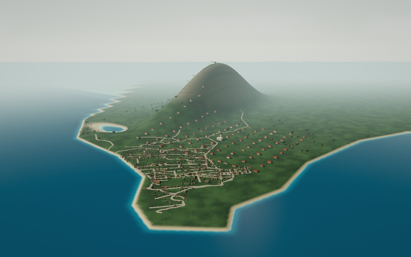
Tôlagnaro peninsula
A town between the Anosy hills and the Indian Ocean. Its peninsula divides the bays, while Pic Saint-Louis rises behind the streets.
Bays and mountains frame the town of Taolagnaro.
- Access
- Destination panorama
Anosy · MADAGASCAR
Ten 3D stops in Fort-Dauphin and its region: places, landscapes and sounds of Madagascar.
Start the immersive tour ↗A town between the Anosy hills and the Indian Ocean. Its peninsula divides the bays, while Pic Saint-Louis rises behind the streets.
Bays and mountains frame the town of Taolagnaro.
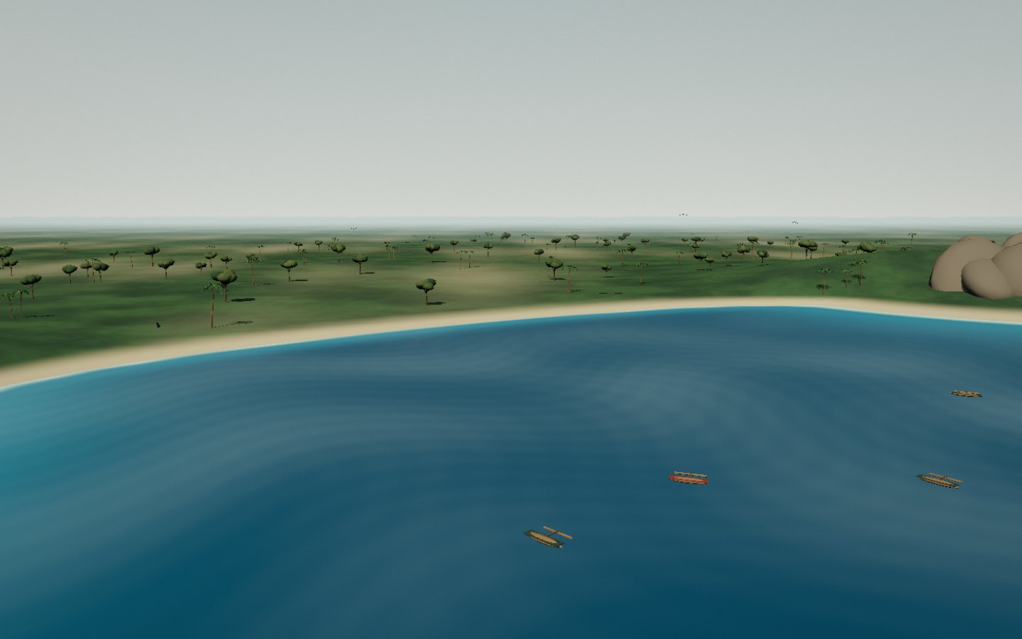
South of town, Libanona curves between rocky headlands. Pale sand, surf and hills across the bay frame the ocean.
The beach curves between the bay’s two headlands.
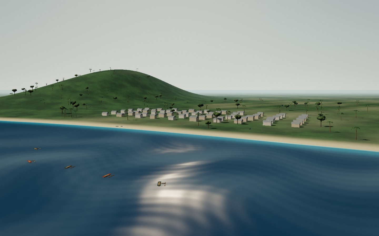
Dauphine Bay follows the eastern side of Tôlagnaro. A broad beach borders the neighbourhoods, with hills still visible inland.
Find the shore and the neighbourhoods facing it.
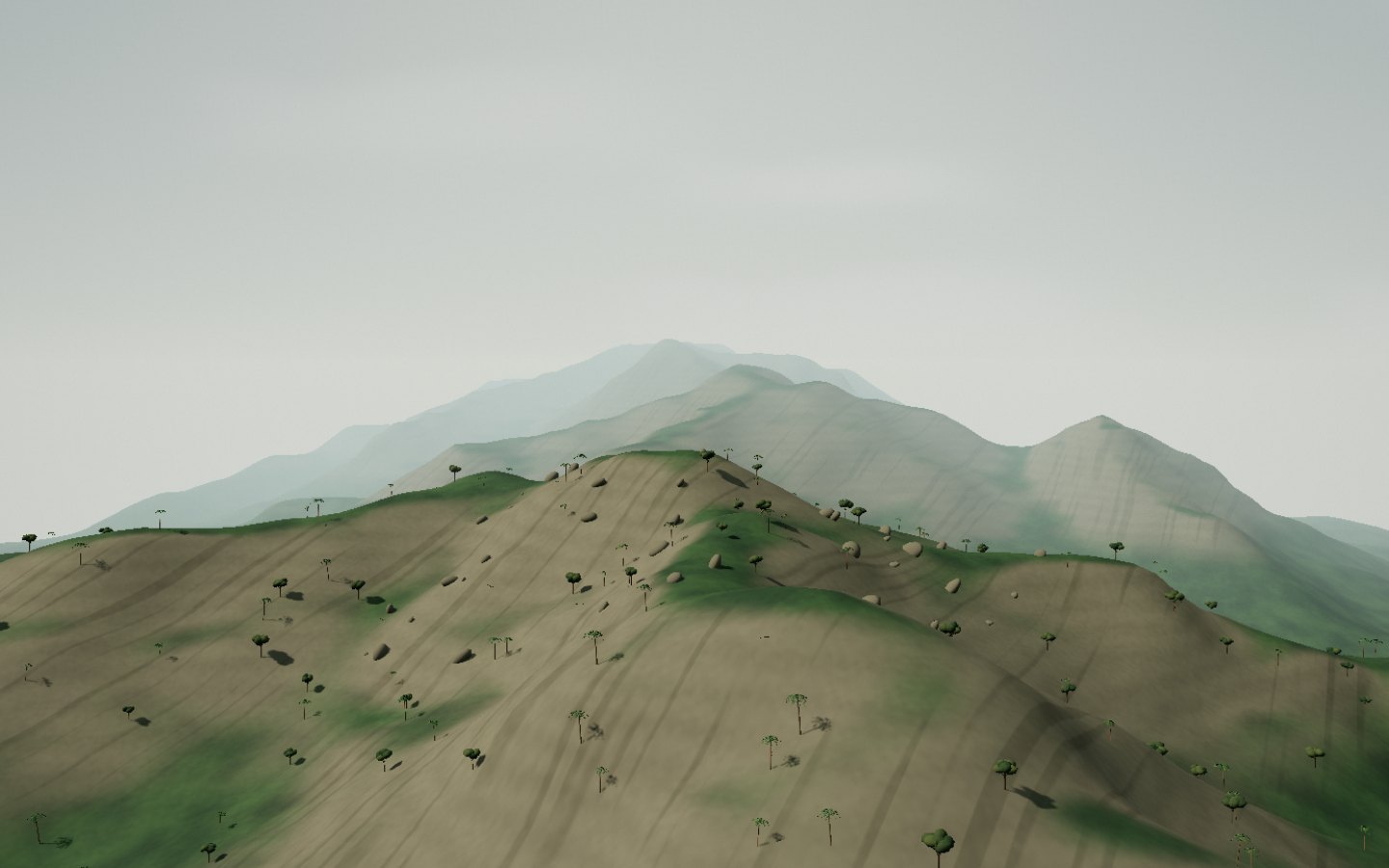
Pic Saint-Louis overlooks Tôlagnaro. Its rocky slopes reveal bays, lakes and the coastline where humid Anosy meets the drier south.
The ridge overlooks the town and neighbouring bays.
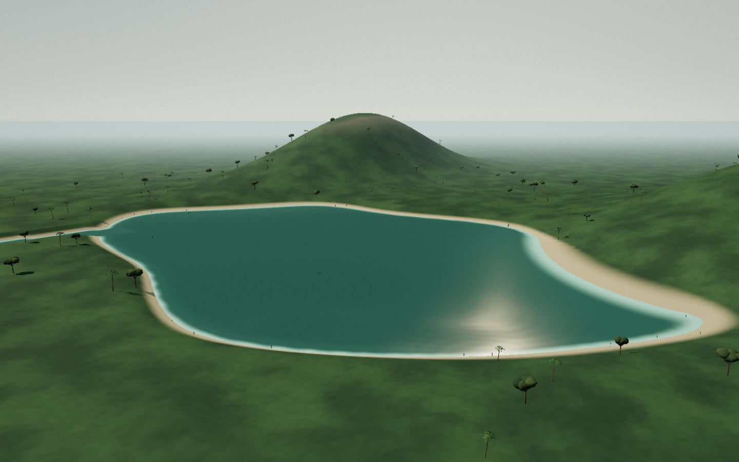
North of Tôlagnaro, Lake Lanirano opens into vegetated shores and waterways. The hills frame water calmer than the coast.
Follow the shores and passages between water and vegetation.
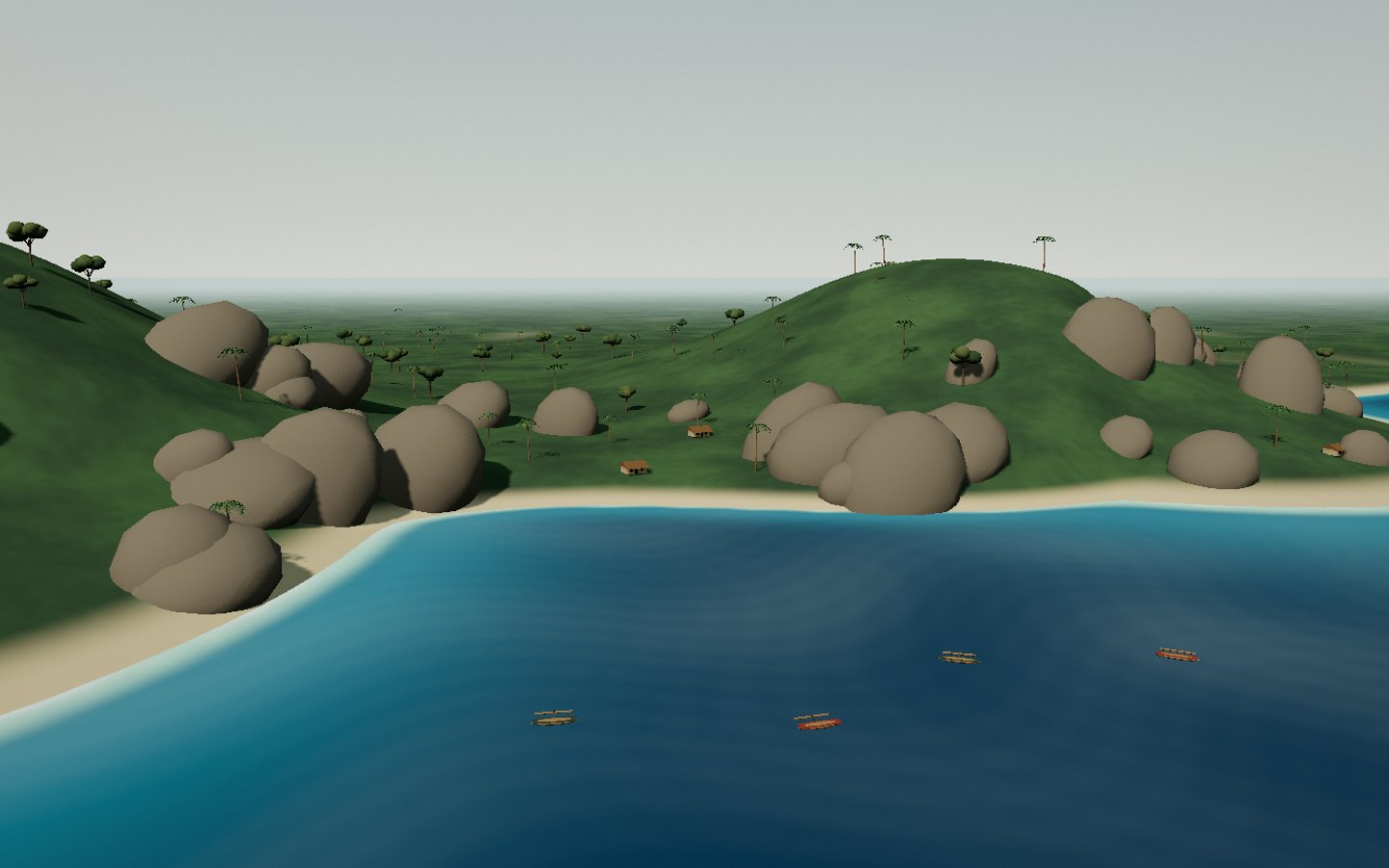
Lokaro lies on the coast northeast of Fort-Dauphin. Curving beaches, rocks and wooded hills surround a succession of small bays.
Rocky headlands separate several small coves.
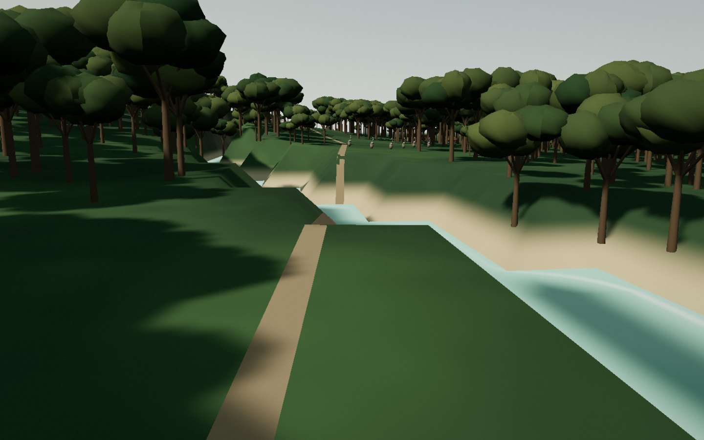
Nahampoana gardens and paths combine tropical vegetation, water and lemur observation. The journey leaves the bays for the greener side of Anosy.
Take time to look at the undergrowth around the path.
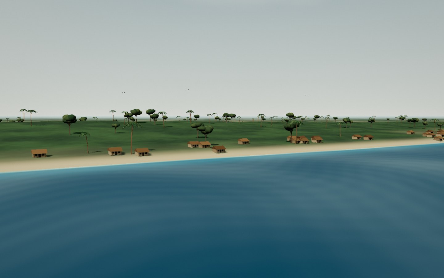
Further north, Sainte-Luce brings together coastal villages, sand and fragments of littoral forest. Pirogues evoke the role of fishing in Anosy.
The coastal forest accompanies the villages and shore.
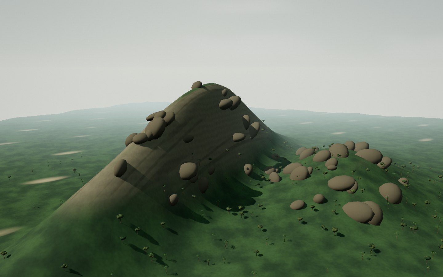
Andohahela marks the meeting of humid environments to the east and drier ones to the west. This contrast runs between wooded slopes and exposed relief.
Watch the vegetation and terrain change along the view.
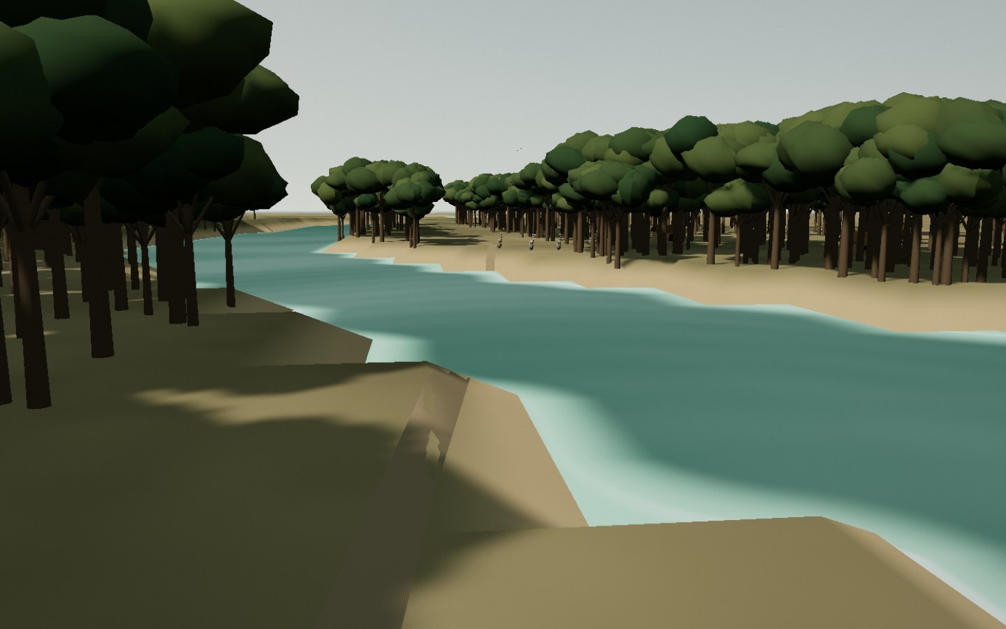
West of Fort-Dauphin near Amboasary-Sud, Berenty preserves dry forest and gallery forest beside the Mandrare. Ring-tailed lemurs mark this final stop.
The forest and river provide landmarks for the walk.